

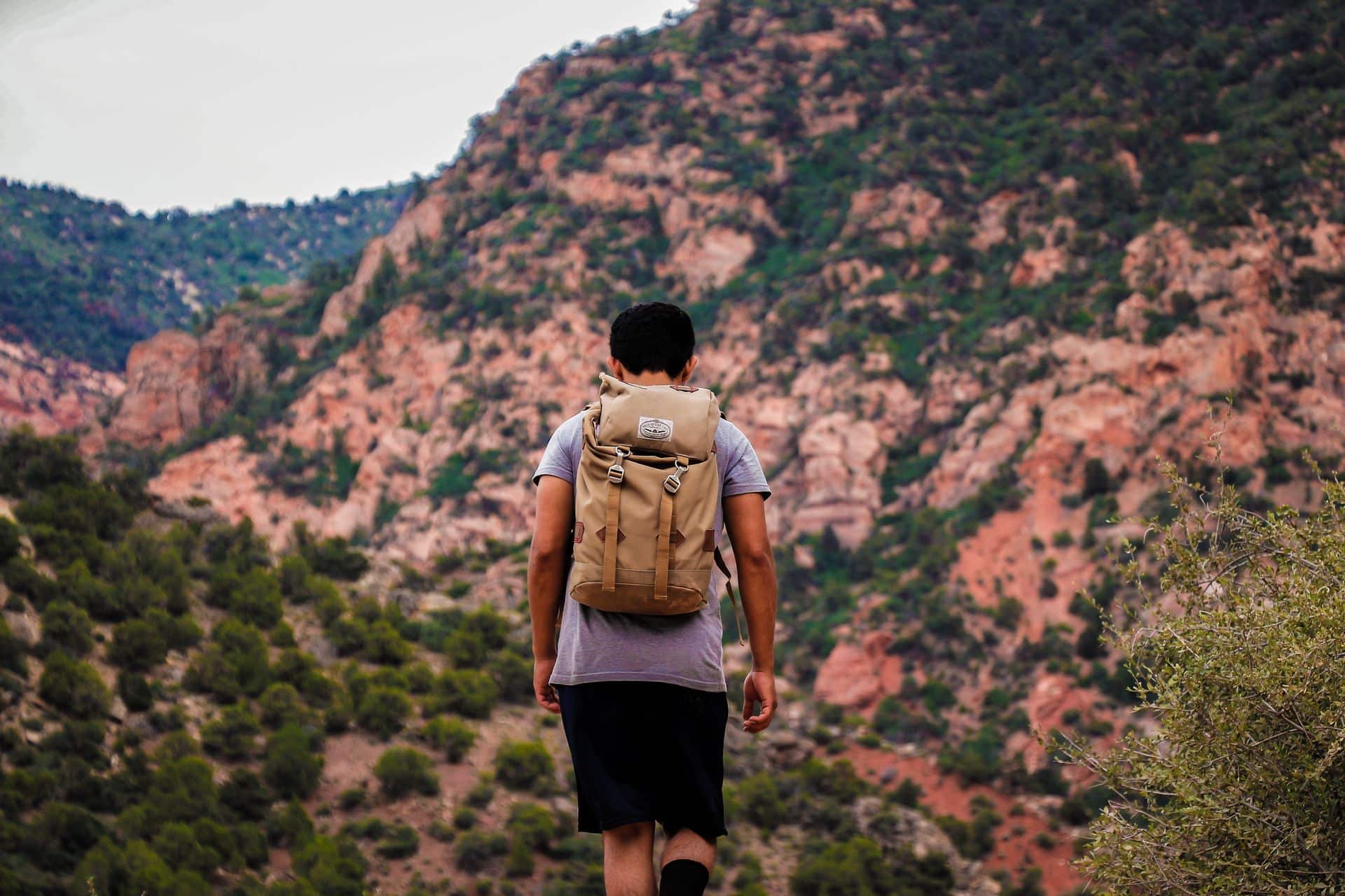
The best hiking trails near Orem span every ability level, from the easy, 3.8-mile Bonneville Shoreline Trail: Orem East to the all-day, roughly 14-mile round-trip climb up Mount Timpanogos. In between, trails like Battle Creek Falls and Dry Canyon give intermediate hikers plenty of options without requiring a full day on the mountain. Promenade Place, located at 875 S Geneva Rd in Orem, sits close to the foothills that feed nearly all of these routes.
Whether you’ve got 45 minutes between classes or a free Saturday to spend on a summit, Orem’s spot at the base of the Wasatch Range means a trailhead is rarely more than a short drive away.
Promenade Place Guide to Hiking Near Orem, UT
Orem’s hiking scene is shaped by its position right against the Wasatch Front, with the Bonneville Shoreline Trail running along the foothills and canyons like Dry Canyon and Battle Creek cutting up toward Mount Timpanogos itself. Beginners have flat, well-marked options close to the city, while more experienced hikers can push into the canyons and, eventually, toward one of Utah’s tallest peaks. Because Promenade Place sits just off Geneva Road near University Parkway, most of these trailheads are a short drive away.
Where Can Beginners Find an Easy Hike Near Orem?
New to hiking or just want something low-key after class? These two trails are short, well-marked, and don’t require much elevation gain to reach a payoff.
Bonneville Shoreline Trail: Orem East Offers Sweeping Valley Views
The Bonneville Shoreline Trail: Orem East is a 3.8-mile trail rated easy, following the historic shoreline of ancient Lake Bonneville along the foothills above the city. Parking is available at a pull-off along Kyhv Peak Road, and the trail’s varied terrain and wildflowers make it a popular pick for a quick evening walk with sweeping views of Provo Valley. It’s part of a much larger trail system that eventually connects Orem to neighboring communities along the Wasatch Front.
Battle Creek Falls Trail Rewards a Short Climb With a Waterfall
Battle Creek Falls Trail, just north of Orem in Pleasant Grove, is about 1.5 miles round trip with roughly 450 feet of elevation gain, starting at the trailhead near Kiwanis Park at the end of Battle Creek Drive. The trail is easy for most of its length, with one steep, rocky push in the final stretch before reaching the 50-foot waterfall that gives the trail its name. Sturdy shoes are worth wearing, since the last section can be loose underfoot.
Between a valley-view ridge walk and a short waterfall hike, beginners near Orem have two solid, low-commitment options to start with.
What Trails Work Best for Intermediate Hikers?
Ready for more of a workout but not looking to commit to a full day on the mountain? These trails add real elevation gain while still being manageable in a morning or afternoon.
| Trail | Distance | Elevation Gain | Difficulty |
|---|---|---|---|
| Dry Canyon Route #049 | 4.7 miles round trip | ~1,500 ft | Moderate |
| Grove Creek Trail | 3.5 miles round trip | ~1,800 ft | Moderate |
Dry Canyon Trail Climbs Through Lindon Nature Park
Dry Canyon Route #049 starts at Lindon Nature Park, just a few minutes from Orem, and climbs 4.7 miles round trip with about 1,500 feet of elevation gain to a lookout with views of Utah Lake and the surrounding valley. The trail has loose gravel and very little shade, so it’s best tackled in the morning or evening during summer months. Hikers looking for more of a challenge can continue past the lookout toward Little Baldy for a longer, steeper day.
Grove Creek Trail Leads Into the Timpanogos Foothills
Grove Creek Trail, accessed from Grove Creek Canyon in Pleasant Grove, climbs about 3.5 miles round trip through shale canyon terrain before reaching high meadows in the foothills of Mount Timpanogos. The trail sees creek crossings and a handful of steep sections, and it also connects to Battle Creek Trail for hikers who want to turn it into a longer loop. Because it’s steeper and less shaded than the beginner options, it’s better suited to hikers who already have a few trails under their belt.
Between a valley lookout and a foothill climb toward Timpanogos, intermediate hikers near Orem have plenty of room to build up mileage and elevation gain.
Which Trails Should Advanced Hikers Attempt?
For hikers ready for a serious climb, two trails near Orem stand out for their length, elevation gain, and payoff at the top.
Kyhv Peak Trail Climbs to Panoramic Views of Utah Valley
Kyhv Peak Trail starts near the Rock Canyon Campground off Squaw Peak Road, which branches off US-189 in Provo Canyon, and climbs roughly 7 miles round trip with about 2,700 feet of elevation gain to the peak. The trail is steady rather than technical, but the sustained climb and exposed sections make it a genuine workout best saved for hikers with some experience. Spring hikers are rewarded with wildflowers along much of the route.
Mount Timpanogos via Aspen Grove Trail Is the Ultimate Test
Mount Timpanogos, at 11,749 feet, is the second-highest peak in the Wasatch Range, and the Aspen Grove Trail is one of two main routes to its summit. The hike runs roughly 14 to 15 miles round trip with about 4,500 to 4,900 feet of elevation gain, passing Scout Falls, alpine meadows, and Emerald Lake along the way. The trailhead is reached by driving up Provo Canyon and onto the Alpine Loop Scenic Byway, and a fee or National Park pass is required to park at the trailhead. Plan on 8 to 10 hours and an early start, since this is a full-day undertaking even for strong hikers.
Between a strenuous half-day climb and a full-day summit push, advanced hikers near Orem have no shortage of ways to test themselves.
What Should You Pack for a Hike Near Orem?
Regardless of which trail you choose, a few essentials make any hike near Orem safer and more comfortable:
- At least 1 to 2 liters of water per person, more for longer or hotter hikes
- Sturdy, closed-toe hiking shoes or boots with good traction
- Sun protection, including sunscreen, a hat, and sunglasses, since many trails have little shade
- Layers, since temperatures can shift quickly at higher elevations
- A downloaded offline map or GPS app, since cell service is inconsistent in the canyons
- Trekking poles for steeper trails like Squaw Peak or Mount Timpanogos
- A trailhead fee or parking pass for canyon trailheads that require one, such as Aspen Grove
Packing light but smart makes the difference between an enjoyable hike and one that ends earlier than planned.
Orem’s Trails Are Just Minutes From Promenade Place
Between an easy valley-view walk, a couple of solid intermediate climbs, and a bucket-list summit hike, Orem puts a trail for every skill level within a short drive. Whichever route you choose, the Wasatch foothills are never far from home.
Promenade Place adds to that convenience with its own 24-hour fitness center, hot tub, and dedicated study spaces for recovering after a long hike, plus a game room and BBQ area for hanging out with roommates once you’re back. Choose from the floor plan that fits your group and settle into a spot that’s close to both campus and the canyons.
Frequently Asked Questions
What is the easiest hiking trail near Orem, UT?
The Bonneville Shoreline Trail: Orem East is one of the easiest options, at 3.8 miles with a gradual incline and views of Provo Valley along the way.
Is a permit required to hike Mount Timpanogos?
A parking fee or National Park pass is required at the Aspen Grove trailhead, and the trail can be busy on weekends, so an early start is recommended.
How far is Promenade Place from hiking trails near UVU?
Promenade Place, at 875 S Geneva Rd, is a short drive from foothill trailheads like the Bonneville Shoreline Trail and Dry Canyon, both within about 10 to 15 minutes.
What is the best hike near Orem for waterfall views?
Battle Creek Falls Trail, about 1.5 miles round trip in nearby Pleasant Grove, ends at a 50-foot waterfall after a short, steep climb.
Can you hike near Orem year-round?
Lower trails like the Bonneville Shoreline Trail and Battle Creek Falls are hikeable most of the year, while higher routes like Mount Timpanogos are best hiked from July through early October once snow has cleared.